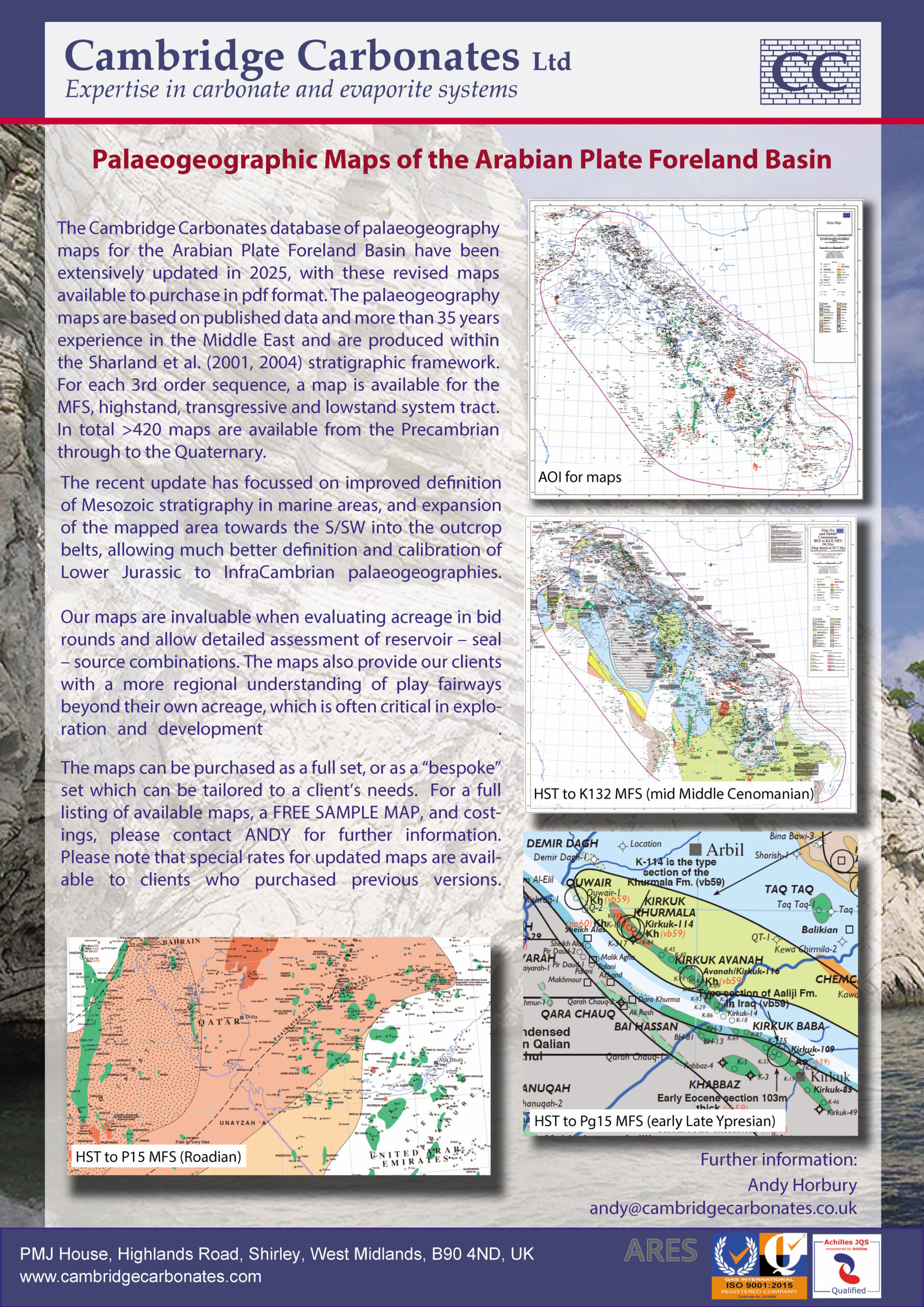
Revised Cambridge Carbonates Arabian Plate Palaeogeography Maps!
CC is pleased to announce the roll-out of their latest Arabian Plate palaeogeography mapping. The aim of this revision has been to increase the emphasis on deeper stratigraphy across the south and centre of the plate, in addition to picking up on local improvements of our knowledge within the Mesozoic stratigraphy. As such the area of detailed mapping has now extended westwards into the area of the Arabian Shield (i.e. the main Palaeozoic-Mesozoic outcrop belt) as well as Oman and NW Saudi Arabia up to the Hail Arch and now encompasses more of the older Mesozoic (AP6) and Palaeozoic stratigraphy. These areas have historically had relatively poor published data coverage, but some significant publications have emerged since about the time of our last main revision which was issued in 2020.
More details are given on the attached flyer; maps are available for the full set (>400 systems tract level maps) or for subsets of the main mapset, i.e. our selected best 100 maps for your project following discussion with you, or for stand-alone intervals such as the Lower Cretaceous. For further information, discussion, prices etc. (with discounts available for previous clients) and a free updated paleogeography of your choice, please contact Andy Horbury on andy@cambridgecarbonates.co.uk
Separately but in addition, we would also like to make you all aware that if there is any interest we can 'reactivate' our historic mapping on the NW part of the plate which was largely halted and not incorporated into the main project following political events of the Arab Spring of 15 years ago. Again, please contact us if this is of interest!
